
 A SCHOLARLY BOOK REPOSITORY
7 start with P start with P
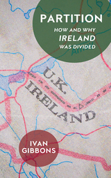
The Partition of Ireland in 1921, which established Northern Ireland and saw it incorporated into the United Kingdom, sparked immediate civil war and a century of unrest. Today, the Partition remains the single most contentious issue in Irish politics, but its origins—how and why the British divided the island—remain obscured by decades of ensuing struggle.
Cutting through the partisan divide, Partition takes readers back to the first days of the twentieth century to uncover the concerns at the heart of the original conflict. Drawing on extensive primary research, Ivan Gibbons reveals how the idea to divide Ireland came about and gained popular support as well as why its implementation proved so controversial and left a century of troubles in its wake.
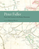
The two journals—“From York Factory to Buckingham House” and “From Buckingham House to the Rocky Mountains”—detail Fidler’s travels over a period of nine months. They include remarks on fur trade history, organization of the inland brigade, three distinct geographical regions, and the daily life of a Plains nation. Belyea’s introduction and ample notes provide insight into the way geographic, specifically cartographic, information was noted in the journals, with additional information on industry trading techniques, traders’ economic decisions, broad changes in regional social and economic conditions, and interactions with indigenous peoples.
Fidler’s journals are an exceptional record of the fur trade’s western expansion and the daily life of a Plains nation at the height of its power and prosperity. With its rich analysis of primary source documents and painstaking reproduction of historical trade routes, Peter Fidler: From York Factory to the Rocky Mountains will be of great value to students and scholars in the fields of fur trade studies, cartography, travel literature, and Canadian history, as well as general readers interested in westward expansion, exploration, commerce, and indigenous-colonial relations.
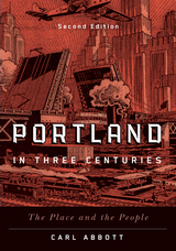
Incorporating social history and contemporary scholarship in his narrative, Abbott examines current metropolitan character and issues, giving close attention to historical background. He explores the context of opportunities and problems that have helped to shape the rich mosaic that is Portland.
This revised and updated second edition includes greater attention to the Indigenous peoples of the Portland region, Portland’s communities of color, and the challenges of recent years that have thrust Portland into the national spotlight.
A highly readable character study of a city, and enhanced by more than sixty historic and contemporary images, Portland in Three Centuries will appeal to readers interested in Portland, in Oregon, and in Pacific Northwest history.
This form of place study calls attention to how we can see a past through a serial view of places, by the nature of repetition, and the photographing of the same place over and over again. Arreola draws our focus to townscapes, or built landscapes, of four border towns—Tijuana, Mexicali, Tecate, and Algodones—during the first half of the twentieth century. With an emphasis on the tourist’s view of these places, this book creates a vivid picture of what life was like for tourists and residents of these towns in the early and mid-twentieth century. Postcards from the Baja California Border is a rich and fascinating experience, one that takes you on a time-travel journey through border town histories and geographies while celebrating the visual intrigue of postcards.
In 1482, the Florentine humanist and statesman Francesco Berlinghieri produced the Geographia, a book of over one hundred folio leaves describing the world in Italian verse, inspired by the ancient Greek geography of Ptolemy. The poem, divided into seven books (one for each day of the week the author “travels” the known world), is interleaved with lavishly engraved maps to accompany readers on this journey.
Sean Roberts demonstrates that the Geographia represents the moment of transition between printing and manuscript culture, while forming a critical base for the rise of modern cartography. Simultaneously, the use of the Geographia as a diplomatic gift from Florence to the Ottoman Empire tells another story. This exchange expands our understanding of Mediterranean politics, European perceptions of the Ottomans, and Ottoman interest in mapping and print. The envoy to the Sultan represented the aspirations of the Florentine state, which chose not to bestow some other highly valued good, such as the city’s renowned textiles, but instead the best example of what Florentine visual, material, and intellectual culture had to offer.
READERS
Browse our collection.
PUBLISHERS
See BiblioVault's publisher services.
STUDENT SERVICES
Files for college accessibility offices.
RECENTLY PUBLISHED


UChicago Accessibility Resources
home | accessibility | search | about | contact us
BiblioVault ® 2001 - 2026
The University of Chicago Press