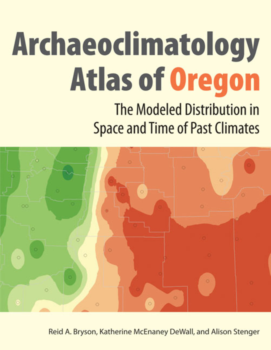
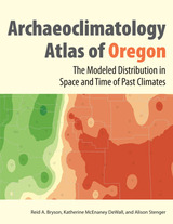
The Archaeoclimatology Atlas of Oregon: The Modeled Distribution in Space and Time of Past Climates
University of Utah Press, 2009
eISBN: 978-1-60781-953-0 | Paper: 978-0-87480-926-8
Library of Congress Classification QC884.5.O7B79 2009
Dewey Decimal Classification 551.69795
eISBN: 978-1-60781-953-0 | Paper: 978-0-87480-926-8
Library of Congress Classification QC884.5.O7B79 2009
Dewey Decimal Classification 551.69795
ABOUT THIS BOOK | AUTHOR BIOGRAPHY | REVIEWS | TOC | REQUEST ACCESSIBLE FILE
ABOUT THIS BOOK
The Macrophysical Climate Model (MCM) used for the atlas presents an innovative means of modeling past climate that has been rigorously tested and verified against field evidence worldwide. Broad-scale reconstructions of specific times in the past provide detailed site-specific graphs of precipitation, temperature, evaporation, and snowfall for more than 75 locations in Oregon.
Applications of the model and its implications for human populations in Oregon are explored for each region of the state, demonstrating the variability of human-climate interactions.
Supplemental Spatial Maps
Research on the effects of climate change on people and the environment has its roots in decades of study by archaeologists and meteorologists. The Archaeoclimatology Atlas of Oregon provides an in-depth look at the modeled climatic and environmental history of the region over the past 14,000 years and analyzes the relationship between climatic variables and people in the past.
The Macrophysical Climate Model (MCM) used for the atlas presents an innovative means of modeling past climate that has been rigorously tested and verified against field evidence worldwide. Broad-scale reconstructions of specific times in the past provide detailed site-specific graphs of precipitation, temperature, evaporation, and snowfall for more than 75 locations in Oregon.
Applications of the model and its implications for human populations in Oregon are explored for each region of the state, demonstrating the variability of human-climate interactions.
Supplemental Spatial Maps
See other books on: Climate | Effect of climate on | Human beings | Oregon | Space
See other titles from University of Utah Press
