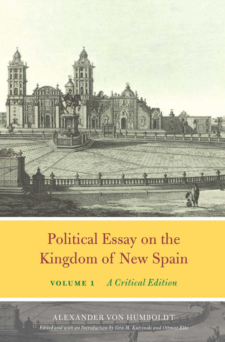
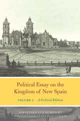
Political Essay on the Kingdom of New Spain, Volume 1: A Critical Edition
University of Chicago Press, 2019
Cloth: 978-0-226-65138-5 | eISBN: 978-0-226-65141-5
Library of Congress Classification F1211.H92613 2019
Dewey Decimal Classification 917.2
Cloth: 978-0-226-65138-5 | eISBN: 978-0-226-65141-5
Library of Congress Classification F1211.H92613 2019
Dewey Decimal Classification 917.2
ABOUT THIS BOOK | AUTHOR BIOGRAPHY | REVIEWS | TOC | REQUEST ACCESSIBLE FILE
ABOUT THIS BOOK
Volume 1 of this critical edition includes a note on the text from the Humboldt in English team, an introduction by editors Vera M. Kutzinski and Ottmar Ette, a preface to the first edition by Alexander von Humboldt, and the translation of Volumes 1 and 2 of Humboldt’s Essai politique sur le royaume de de Nouvelle Espagne from 1825 to 1827.
Alexander von Humboldt was the most celebrated modern chronicler of North and South America and the Caribbean, and this translation of his essay on New Spain—the first modern regional economic and political geography—covers his travels across today’s Mexico in 1803–1804. The work canvases natural-scientific and cultural-scientific objects alike, combining the results of fieldwork with archival research and expert testimony.
To show how people, plants, animals, goods, and ideas moved across the globe, Humboldt wrote in a variety of styles, bending and reshaping familiar writerly conventions to keep readers attentive to new inputs. Above all, he wanted his readers to be open-minded when confronted with cultural and other differences in the Americas. Fueled by his comparative global perspective on politics, economics, and science, he used his writing to support Latin American independence and condemn slavery and other forms of colonial exploitation. It is these voluminous and innovative writings on the New World that made Humboldt the undisputed father of modern geography, early American studies, transatlantic cultural history, and environmental studies.
This two-volume critical edition—the third installment in the Alexander von Humboldt in English series—is based on the full text, including all footnotes, tables, and maps, of the second, revised French edition of Essai politique sur le royaume de de Nouvelle Espagne from 1825 to 1827, which has never been translated into English before. Extensive annotations and full-color atlases are available on the series website.
See other books on: Kingdom | Mines and mineral resources | Population | Statistics | Volume 1
See other titles from University of Chicago Press
